
Researchers of Center for Mathematical Modelling and other important international centers met on July 28th and 29th to share knowledge about the state of art on Maritime Satellite Images Research. The workshop gathered members of Laboratory of Modeling in Scientific Imaging and Visualization (Motiv) from CMM, Center for Southeastern Tropical Advanced Remote Sensing (Cstars) from University of Miami, Stevens Institute of Technology (USA) and the Center for Technological Innovation in High Performance Computing (CTI-HPC) from Universidad Técnica Federico Santa Maria. All four institutions are working in a joint project on this issue.
“This workshop leads to share ideas and to look what other countries are doing in the field”, underlined Dr. Julie Pullen, director of the Stevens Institute Of Technology. In the meeting, which took place on Monday 28th in Valparaíso and on Tuesday 29th in Santiago, CMM and CTI-HPC showed progresses they have made, as well as Cstars and Stevens Institute of Technology explained how they take maritime satellite images. These last two centers have the role to be “the technical counterparts to be needed by the Chilean centers”, as remarked Mauricio Smythe, coordinator of this international project and of the CTI-HPC.

This research is a big opportunity for Motiv, explained scientist Takeshi Asahi: “The sea has a huge potential. Not only we are starting to understand this discipline and the problems that can be solved, but also we are at the first stage to be much more active with the employment of satellite images”. He also explained that the major contribution of CMM is to frame the project in a mathematical context adding methods like optimization. “Mathematics makes algorithms more transparent, as it leads to identify each one of its element in an independent way”, stressed Asahi. Furthermore, Motiv has expertise in other areas such as Astronomy that can be applied in maritime images. On the other side, Universidad Técnica Federico Santa María has already established contact with Chilean Navy, which the implementation of the project´s results could be very useful for.
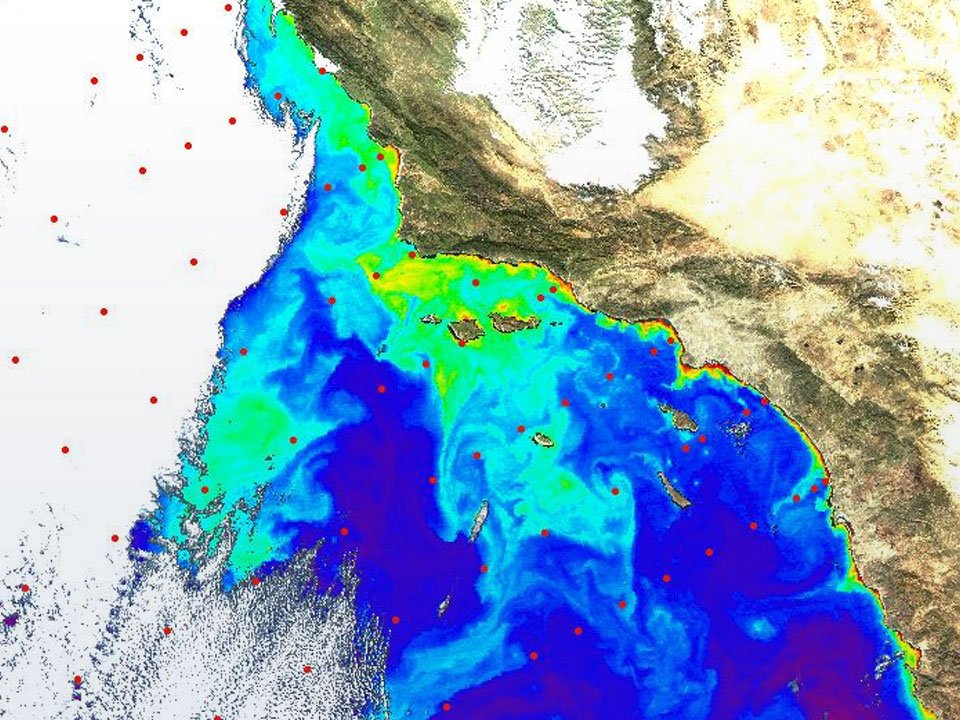
“What impressed me most, it is the very long coastline Chile has and the remote areas that can bring problems, like in the Antarctica”, highlighted Dr. Pullen. Maritime areas have to be secured from geographic domain (rivers, oceans), environmental disasters (hurricanes, glaciers) or threats (dangerous cargos, terrorism). Thus, as two-thirds of the earth is covered by water, monitoring maritime satellite areas can be of great benefit for the society.
CMM and its counterparts will continue working together until January 2015 in this challenging project, which is financed by Conicyt within the Program “Networks of cooperation between Internacional Research Centers”.